
Professional drone mapping and surveying save valuable time for surveyors, enabling safer working conditions, better data and more accurate 3D models.
What is drone mapping and surveying?
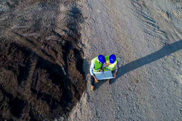
A drone survey is the use of drones or unmanned aerial vehicles (UAVs) equipped with specialized cameras to collect data. This data is then transmitted to special equipment on the ground near the operator of the UAV. The end result of the drone land survey is a detailed map at a given scale, presented in digital format.
Surveying drones can fly at much lower altitudes than traditional techniques such as manned aircraft or satellites, providing high-precision, high-resolution imagery faster and cheaper.
What are drones used for in surveying?
Many industries require surveyors to provide maps of land areas. From determining the general slope of an area to creating detailed maps of every square foot, drone mapping makes the surveyor’s job easier, faster and safer. Among the many industries that use drones for GIS surveying, some of the biggest include:
Topography of large surfaces
Drones considerably reduce the human cost of surveying, making them more efficient and accurate. Surveying drones can produce high-resolution orthophotos and detailed 3D models. Even in complex or hard-to-reach environments, they can still produce high-accuracy maps quickly. Surveyors can use these maps, combined with their experience, to produce extremely accurate maps for their clients.
Professional drones help governments, transportation agencies, architecture, and civil engineering companies create accurate linear maps of large areas quickly and accurately.
Dam surveying
Measuring dams and other large structures can be a challenging task due to variable static water levels and difficult to access areas. Combining advanced sensor equipment, flexible communication systems, and compact designs, UAVs can be successfully applied to visual surveys and assessments of prey and hard-to-reach areas.
Urban planning
Drones for smart cities are being tested and deployed to quickly collect, aggregate, analyze and provide highly accurate topographic maps of urban areas. This information facilitates applications that improve operations, engage residents, and support communities.
Forest management and monitoring
The sheer size of natural forests makes forest management and monitoring very laborious, resulting in slow, tedious and often dangerous work for staff.
Geological hazard monitoring
In the event of a geological disaster, technical workers can use drone mapping technology to take panoramic photos of the affected area in the shortest possible time and convert them into a 3D display system, greatly reducing the difficulty of rescue.
Inspection of electrical networks
Drones can be used to inspect power lines and power pylons for lightning strikes, corrosion, and damaged bolts. The power line inspection solution provides detailed and accurate data on all parts of the network, automating inspection, enabling timely repairs and reducing downtime.
These are just some of the great benefits and uses that are given to professional drones.
At Multitask Technology we offer large terrain mapping services, aerial photography, and we also sell professional drones, as well as training for their use in large inspections, engineering companies, appraisals, insurance companies, among others.
Contact us to find out the needs of your team and to be able to offer you the drones that best suit your needs, as well as the required training, and services.
ventas@multitask.com.pa
Tel. 836-7132
Panama City, Panama.