
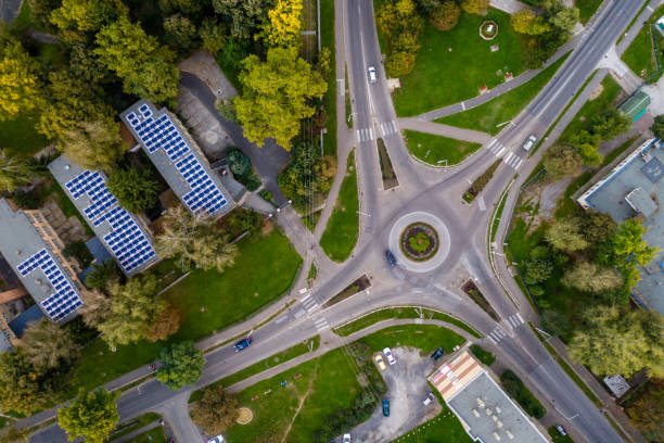
In the construction industry, precise planning and design are crucial for the success of any project. In the past, collecting topographical data and creating terrain maps could be a costly and time-consuming process, but thanks to technological advancements, it is now easier than ever. At Multitask Technology, we offer drone-based terrain mapping services that can help streamline the process and improve design accuracy.
Mapping is used in surveying, urban development, inspections, security, and more.
Benefits of drone-based terrain mapping: Drone-based terrain mapping offers several benefits for construction projects, including:
Accuracy: Drones are capable of collecting highly detailed topographical data with much greater precision than traditional methods.
Speed: Drones can cover large areas in a short amount of time, meaning data can be collected and processed quickly.
Safety: Drones can collect data in hazardous or hard-to-reach terrain without endangering personnel safety.
Cost: Using drones for terrain mapping is more cost-effective than traditional methods, which can help reduce project costs.
How can we help you? At Multitask Technology, we offer drone-based terrain mapping services that can help make your construction project more efficient and cost-effective. Our drone experts are equipped with the latest technology and data processing software to provide accurate and detailed results in record time.
If you’re looking for a faster and more accurate way to collect topographical data for your construction project, drone-based terrain mapping may be the perfect solution. At Multitask Technology, we offer drone-based terrain mapping services to help you get the precise and detailed results you need to make your project a success. Contact us today to learn more about how we can help you.
Tel. 836-7132
Panamá